
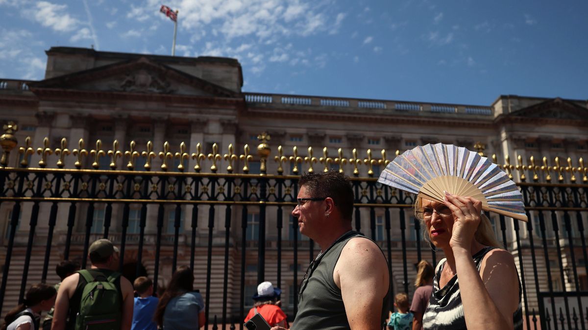
Brits are set for more sweltering conditions ahead with temperatures climbing towards 35C after a record breaking June.
Weather maps are turning red next week with 30 counties set to see the mercury rise to 30C or more for next Wednesday (July 8) to Thursday as a plume of hot air sweeps across England.
It comes after the UK set a provisional June temperature record of 37.7C last Friday in Lingwood in Norfolk, according to the Met Office. It beats the previous June record for the UK of 35.6C dating back to 1976 by more than 2C.
The Met Office has said temperatures in the south this week will be in the low to mid-20s before they are expected to rise to the high 20s or early 30s this weekend and into next week.
 View 3 Images
A map showing temperatures next week(Image: NetWeather)
And the latest Netweather charts show the hottest conditions next Wednesday will initially develop across central and southern England before shifting eastwards the following day, bringing the highest temperatures into London, the Home Counties, Essex, Kent and East Anglia.
On Wednesday, temperatures are forecast to climb into the low 30s across large swathes of southern and central England, with an isolated high of 35C developing across parts of Oxfordshire and neighbouring counties.
By Thursday, the zone of extreme heat expands and moves further east, according to the maps, with more counties expected to exceed highs of 30C as the mercury again soars. Large parts of the Midlands are also expected to remain above 30C, while the area of intense heat stretches across much of England.
 View 3 Images
The high temperatures continue into Thursday next week(Image: NetWeather)
Further north, the maps show parts of Yorkshire, Greater Manchester and Merseyside nearing highs of 30C, as the warm air pushes up through England.
Across Wednesday and Thursday, the maps show the core of the heat shifting eastwards, with southern and eastern England turning deep red as temperature highs climb into the low and mid-30s.
Wales is forecast to see temperatures widely reach the mid to high 20s, while eastern Scotland could warm to around 27C or 28C. Northern Ireland, western Scotland and the far north are expected to stay cooler, largely escaping the most intense heat.
The Met Office forecast for July 6-15 says: “High pressure will dominate across England and Wales into next week, likely extending its influence across more on the northern UK with time. This will bring dry and warm conditions with plenty of sunshine for most.
“Scotland and Northern Ireland will probably see more cloud at first, with periods of rain at times. Through next week though the high pressure may extend northwards to bring periods of drier and warmer weather to Scotland and Northern Ireland. Temperatures becoming widely warm, perhaps locally hot in parts of the southeast, although not as hot nor humid as seen in the past week.”
Areas set for temperatures of 30C or more:
Article continues below
- Bedfordshire
- Berkshire
- Buckinghamshire
- Cambridgeshire
- Cornwall
- Devon
- Dorset
- Essex
- Gloucestershire
- Greater London
- Greater Manchester
- Hampshire
- Hertfordshire
- Kent
- Leicestershire
- Lincolnshire
- Merseyside
- Norfolk
- Northamptonshire
- Nottinghamshire
- Oxfordshire
- Somerset
- Staffordshire
- Suffolk
- Surrey
- Warwickshire
- West Midlands
- Wiltshire
- Worcestershire
- Yorkshire