


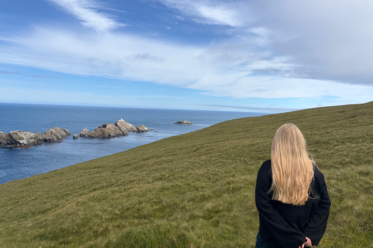
I spend perhaps an unhealthy amount of time staring at the Maps app on my phone, zooming into remote roads, tiny islands, or the middle of vast plains peppered with isolated buildings. One place I always come back to – via satellite image, that is – is the Shetland Islands, or more specifically, Out Stack, a small skerry in the North Atlantic Ocean marking the northerly point of the British Isles. There’s just something so satisfying about an endpoint, an extreme boundary, that keeps piquing my curiosity during my late-night virtual explorations.
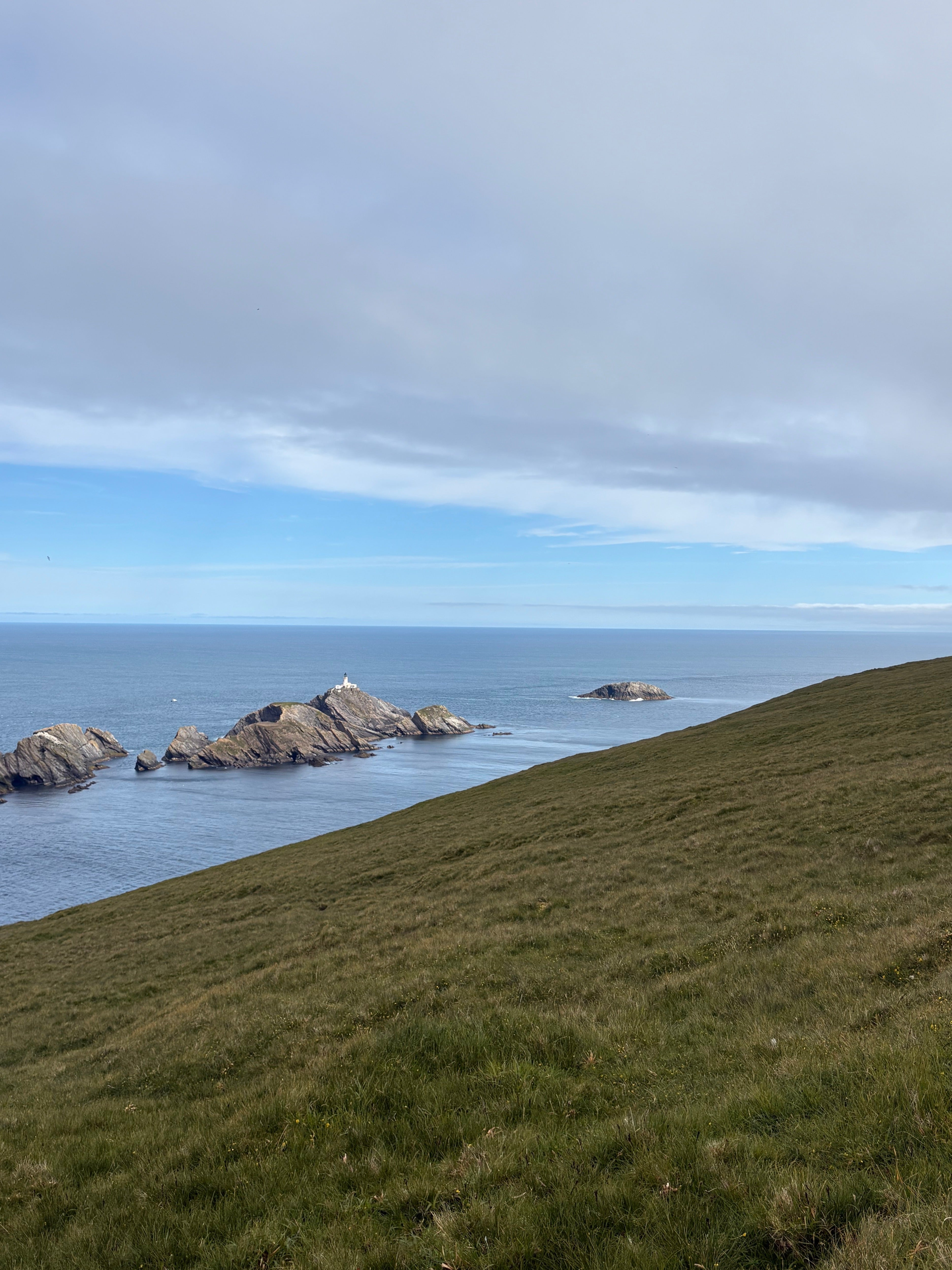
So when I found myself this summer standing on the cliffs of Shetland’s Hermaness National Nature Reserve, looking directly out at the uninhabited rocky islet that poses as the final full stop of Britain, I finally understood why Romantic poets found our country’s nature so powerfully awe-inspiring. Other walkers we chatted to along the cliffs also shared these feelings; we were all harbouring a triumphant secret that day about what it’s like to be the most northerly people in the country.
Getting to this viewpoint on the cliff’s edge takes just over an hour on a moderate hike across Hermaness, found at the tip of Britain’s northernmost inhabited island, Unst. The trail up the cliff was an exciting quest, but so too was the pilgrimage that involved two London Tubes, one train, two flights, two small ferries, a car ride and then the hike to what arguably is one of the UK’s most magnificent viewpoints. We sat for a good hour watching the Atlantic waves crash onto Out Stack with nothing but a vast stretch of sea reaching out to the horizon. As the last landmass any traveller would encounter before reaching the North Pole if they sailed directly north, it is not an exaggeration to say that I felt I was perched on the edge of the world.
 open image in gallery
Spectacular as it was, I soon came to realise that my hyperfocus on Out Stack had almost made me miss out on what the rest of the island had to offer. The previous day, I arrived on Unst using one of Shetland’s inter-island ferries and met with two women who have helped transform the island’s visitor experience. Jane Macaulay and Sharyn Emslie are part of Wild Skies, a team of locals who have created trails around Unst that bring people to some of the island’s most outstanding locations to witness the beautiful northern latitude skies, as well as interesting historical points.
“The trails are a celebration of natural heritage,” Jane explained. “Unst has a huge amount to offer and people can come and do whatever they like.” She said visitors also come to the island as it is one of the richest Viking heritage areas in Europe, with over 60 longhouses uncovered in the fields from when Shetland was under Norse rule.
Read more: This Scottish road trip made me fall back in love with campervan holidays
You can’t drive a minute without stumbling on another piece of history. The remains of traditional crofthouses are just as frequent as Unst’s inhabited homes, many of which belonged to the ancestors of current residents who just one day stepped out the door and never came back when electricity was introduced to the island. It was mind-blowing to see a place in the UK which shows the passage of time in such a tangible way.
.jpeg) open image in gallery
open image in gallery“It’s also a geologist’s dream,” Jane continued. “There’s an ophiolite, which was the sea crust 420 million years ago, pushed up by the tectonic plates when the continents were moving towards each other.” Not forgetting bird enthusiasts – Unst is a haven for camera-ready colonies of gannets and puffins bobbing about on the sea cliffs.
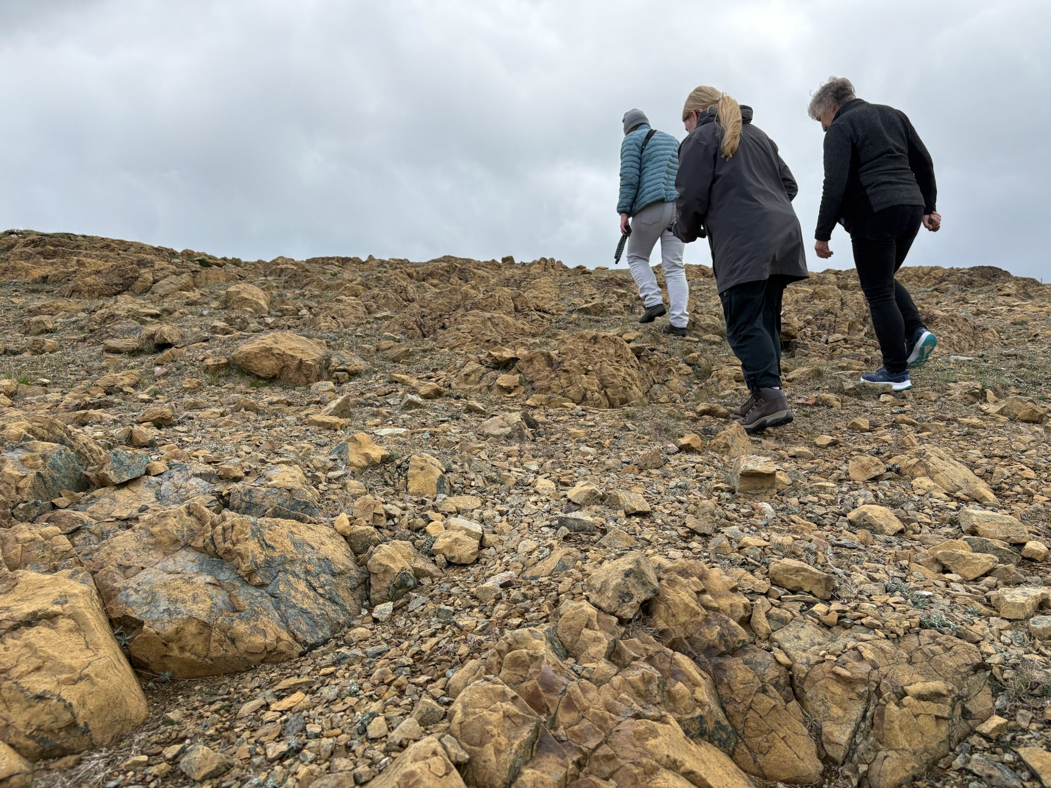
After snacking on caramel wafers and sipping from coffee flasks during a picnic inside Skidbladner, a full-size replica of the ninth-century Viking Gokstad ship, we set off to tick off some Wild Skies stops, each with wooden posts that give snippets of information, or play poetry, local dialect and music audios. On our way up to one stop, we tracked across the Keen of Hamar nature reserve, a barren desert of serpentine rock that came from the ophiolite crust. Our eyes were glued to the ground until we found dainty Edmondston’s Chickweed, an endemic wildflower found nowhere else in the world.
 open image in gallery
At the top, there was an almost uninterrupted view of the sky and the horizon, which we took in while listening to traditional fiddle tunes from the Wild Skies post. Due to Unst’s location and lack of light pollution, these stops give visitors the best possible views of the Northern Lights in the winter months. In the summer, they offer the chance to experience the Simmer Dim, where the sun remains in the sky for around 18 hours on the longest days, and even when it does dip below the horizon, the twilight sky remains a bright milky colour.
Read more: I explored some of Scotland’s most beautiful islands on a 12-person boat
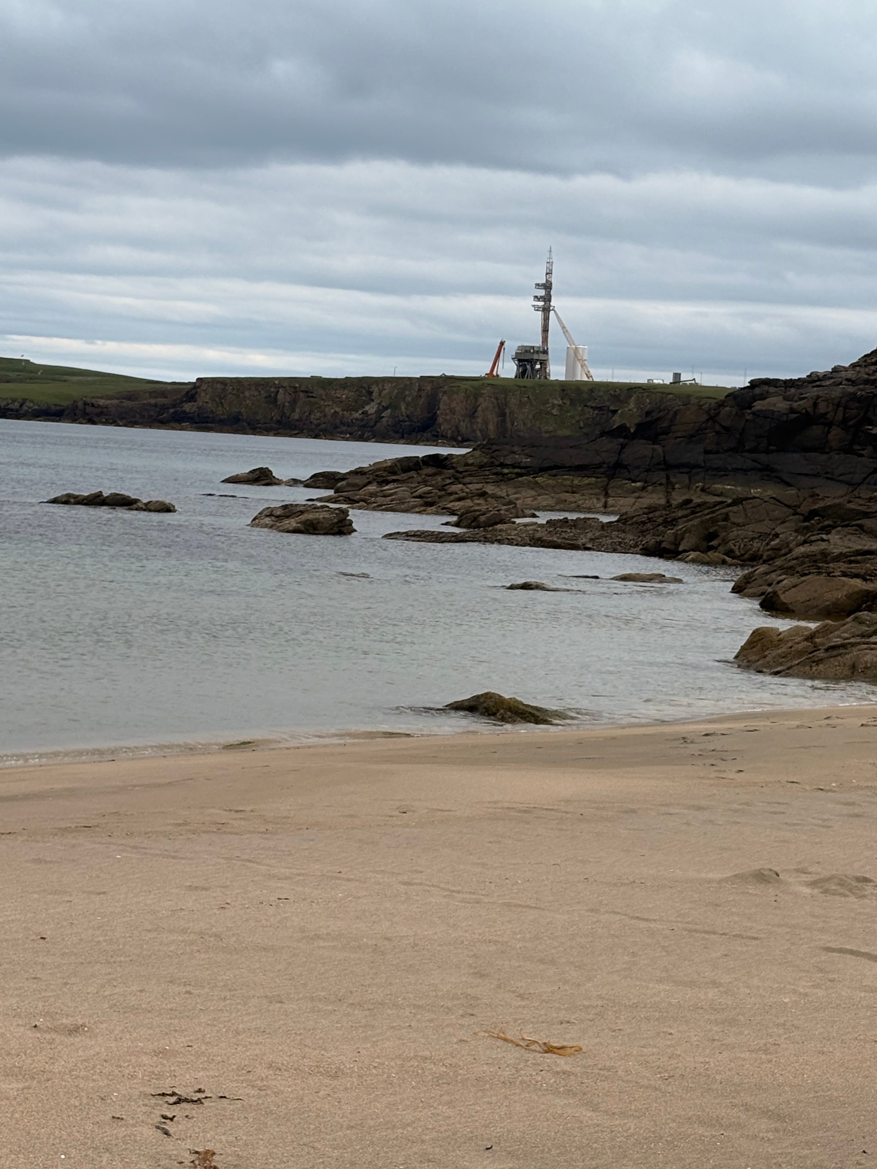
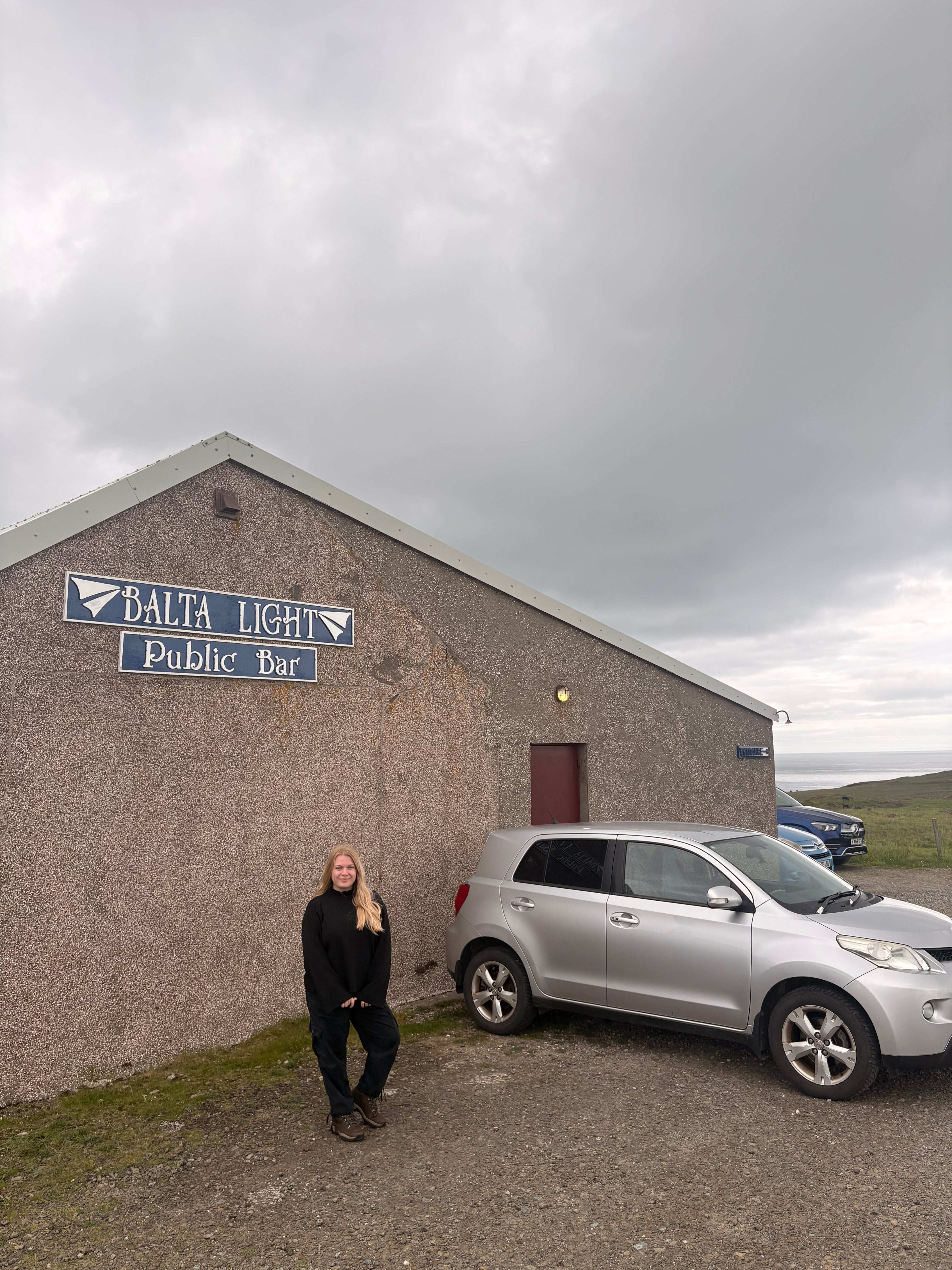
We couldn’t leave Unst without ticking off some of the “most northerly in Britain” things to do. We posted cards in the most northerly post box, before driving to Skaw, Britain’s northernmost beach, where there is a clear view of the Saxa Vord spaceport that is soon due to test rocket launches — a project that has divided local opinion over environmental concerns versus economic benefits for the community. Then a quick Tennent’s pint at Balta Light, the most northerly pub, before dinner at the recently opened furthest north restaurant, Da Otter’s Neuk for fish and chips.
 open image in gallery
That night we sauntered over to the Baltasound Hall for a community event hosted by university students from St Andrews, which was followed by ceilidh dancing. Reluctant to join in at first due to our shoddy dancing skills, we were soon linking arms and skipping around with locals and other visitors as traditional tunes floated from the fiddles and accordions of the Unst Music and Dance Band. Unst is one of the most remote places to live in the UK, but strong community connections are all the better for it.
 open image in gallery
“There’s such a close, tight-knit community,” Sharyn had said earlier that day. “Everyone’s so helpful, and they get things done here. They don’t just talk about doing stuff. They really do it.”
“It’s something to do with our geography because we’re at the end of the line,” added Jane. “It’s to do with pride of place and identity and belonging, and people are very strong about their connection with the land and the sea.”
Read more: Once a year, silent film fans from around the world descend on this tiny Scottish town
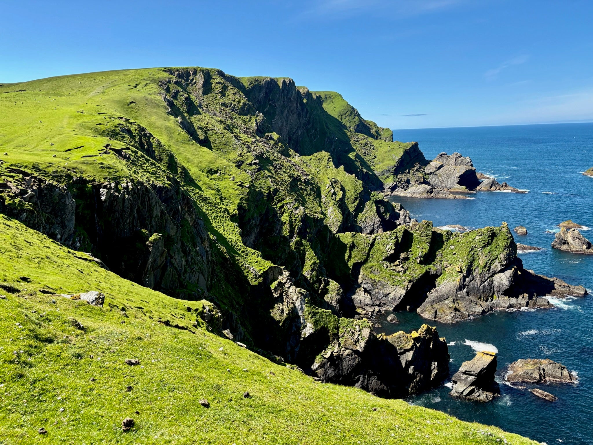
Seeking my own connection with this extreme land, the next morning we set off to Hermaness for our hike. It was misty as we walked along a boardwalk over the peaty bogs, then we were guided by wooden posts as the ground got firmer. The mist was not moving, and as we ascended the hill I started to feel a slight dread that we had come all this way just to stare at a veil of fog.
 open image in gallery
Luckily for us, what happened next was akin to some sort of cinematic suspense motif. As we continued the walk along the cliff edge, we first saw what we thought was water, and then, suddenly, a faint outline of rocks emerged. Next, the UK’s most northerly lighthouse, Muckle Flugga, began to appear before us on an islet of rocks, then I suddenly caught sight of Out Stack. There it was. I couldn’t believe it. We jumped for joy, and admittedly, I shed a few tears. Here I realised how Unst lived up to its nickname in more ways than its geographical location – “the island above all others”.
How to do it
Flights to and from Sumburgh airport on Shetland are available with Loganair from most major Scottish airports. NorthLink also runs overnight ferries between Lerwick and Aberdeen, which is cheaper than flying and allows you to bring a vehicle.
We hired a car with Bolts Car Hire that we picked up from the airport and dropped off in the ferry port. While there are some buses on Shetland, I’d advise having a car to get to places quickly. Watch out for sheep on the roads as they like to perch on the tarmac.
We pre-booked inter-island ferries sailings, which only last around five to 10 minutes, as they can get busy. To get to Unst, we took the ferry from Toft (on the mainland) to Ulsta (on the island of Yell), we then drove across Yell to the Gutcher ferry terminal, and caught another ferry to Belmont on Unst. Be aware that ferries are often delayed or cancelled.
Where to stay
We stayed at Winwick House in Balthasound, the home of Unst local Willie, who transformed his spare rooms into guest accommodation with en-suites. He offers a cooked breakfast in his dining room and told us stories of island life as we tucked in.
Amelia was a guest of Promote Shetland and VisitScotland.