
More heatwaves could arrive in the UK over the next three months as the Met Office has forecasted another scorching summer.
In its three-month summer outlook, the Met Office said the chance of a hot summer is higher than normal, which could increase the risk of heatwaves and other heat-related impacts.
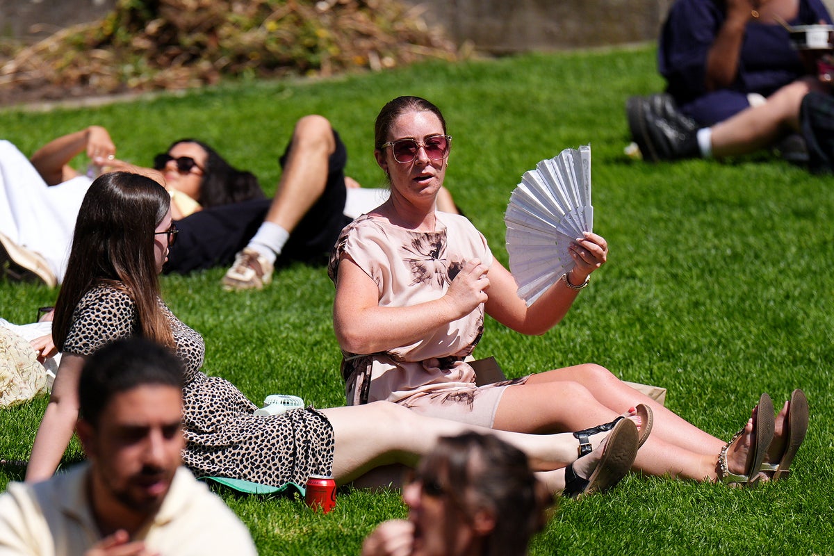
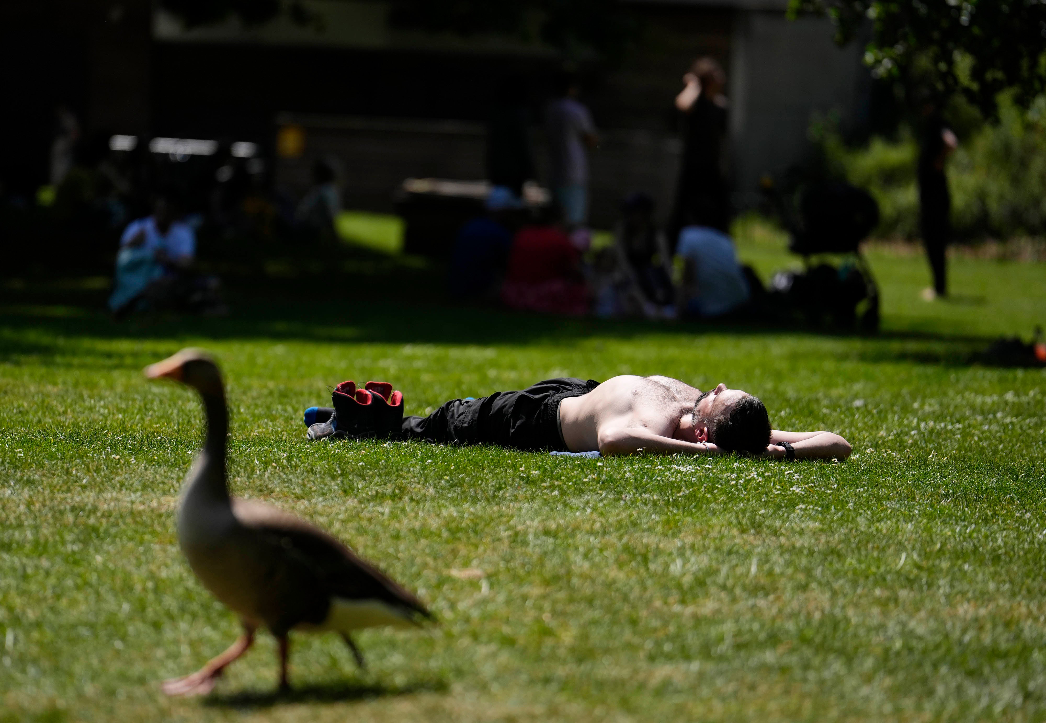
It follows a record-breaking heatwave, which saw temperatures climb to 35.1C in Kew Gardens last Monday.
Some parts of the country enjoyed six consecutive days above 30C, with both the spring and May maximum temperature station records exceeded by more than 2C.
 open image in gallery
The Met Office said the warming of the UK climate and a likely El Niño weather event are the drivers of the weather forecast for June and August.
It forecast that the chance of a hot June is also higher than normal, but Atlantic frontal systems moving across the UK will bring showers or longer spells of rain at the beginning of the month.
Towards the middle of June, higher pressure and more settled conditions are more likely, and temperatures will probably be near normal overall.
In the latter half of the month, the weather is likely to be relatively settled, with drier conditions in most parts of the UK.
“Towards the end of June, low pressure may begin to have more of an influence, especially across the south where heavy showers and thunderstorms become more probable. It may also become hot in parts of the south,” the Met Office said.
 open image in gallery
This year’s spring was England and Wales’s warmest on record, and the third warmest for the UK, according to provisional statistics.
Met Office scientist Dr Emily Carlisle said: “This spring highlights both the natural variability of the UK’s weather and the longer-term warming we are observing. While conditions varied through the season, all three months of meteorological spring recorded mean temperatures within the UK’s top ten warmest on record.
“While we expect fluctuations from year to year, this spring shows some of the changes we’re seeing in our weather patterns, with more extreme conditions becoming more frequent. The fact that nine of the ten warmest springs in England have occurred since 2007 illustrates this ongoing shift in the UK’s climate.”
Met Office five-day forecast:
Today
A band of rain will move eastwards throughout Wednesday, becoming slow-moving across parts of Scotland. A mix of sunshine and showers following, most frequent showers likely in the north with hail and thunder possible for many. Windy for most areas.
Tonight
Further showers or longer spells of rain likely into the evening and overnight, some clear spells likely across the east of the Country. Remaining rather breezy and mild.
Thursday
Remaining breezy on Thursday with sunny spells and showers, however these merging at times to give longer spells of rain, and possibly the odd rumble of thunder. Near normal temperatures.
Outlook for Friday to Sunday
Showers less frequent on Friday. A spell of rain and stronger winds arriving Saturday, with sunny spells and showers returning on Sunday. Temperatures close to or slightly below normal.