


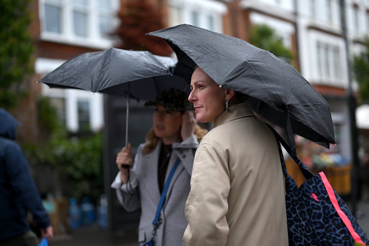
Parts of the country are set to be hit by thundery showers, but southern England is once again likely to miss out on most of the much-needed rain before a potential new heatwave.
Temperatures will cool on Wednesday to average for the time of the year in the low 20s, the Met Office said, after a spike at the start of the week. There will also be a marked North-South split in conditions.
Rain is forecast for northern England, Northern Ireland, Wales and Scotland, but there will be little to speak of in other parts of England after an incredibly dry July.
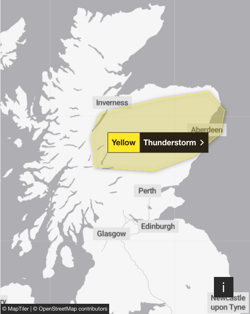
A yellow thunderstorm warning is in place for parts of Scotland from 10am to 9pm on Wednesday, with forecasters warning of a small chance of flooding, with potential for damage to buildings from floodwater, lightning strikes or strong winds.
 open image in gallery
Several flood alerts have been issued by the Scottish Environment Protection Agency, meaning flooding is possible and residents and business owners should be prepared.
Outbreaks of rain in the North will sink South by Thursday, but they will turn more showery, forecasters said.
Some of it may reach rain-starved parts of eastern England, though little is expected for central and southern England.
July was the driest month ever recorded in southern England – and meteorologists have said there may not be significant rainfall in the area for some time.
Where rain and thunder could hit the UK over the coming days:
“It’s looking pretty dry (for southern England),” said Met Office forecaster Marco Petagna.
“Later on Sunday we could just get a few showers coming down from the North West.
“But the rain’s weakening as it comes into the South East.”
Mr Petagna added: “Even for the second half of the month (August), it is suggested that rainfall totals are more likely to be below normal than above, with a potential for further spells of hot weather at times as well.
“So nothing significant on the horizon for the South East.”
 open image in gallery
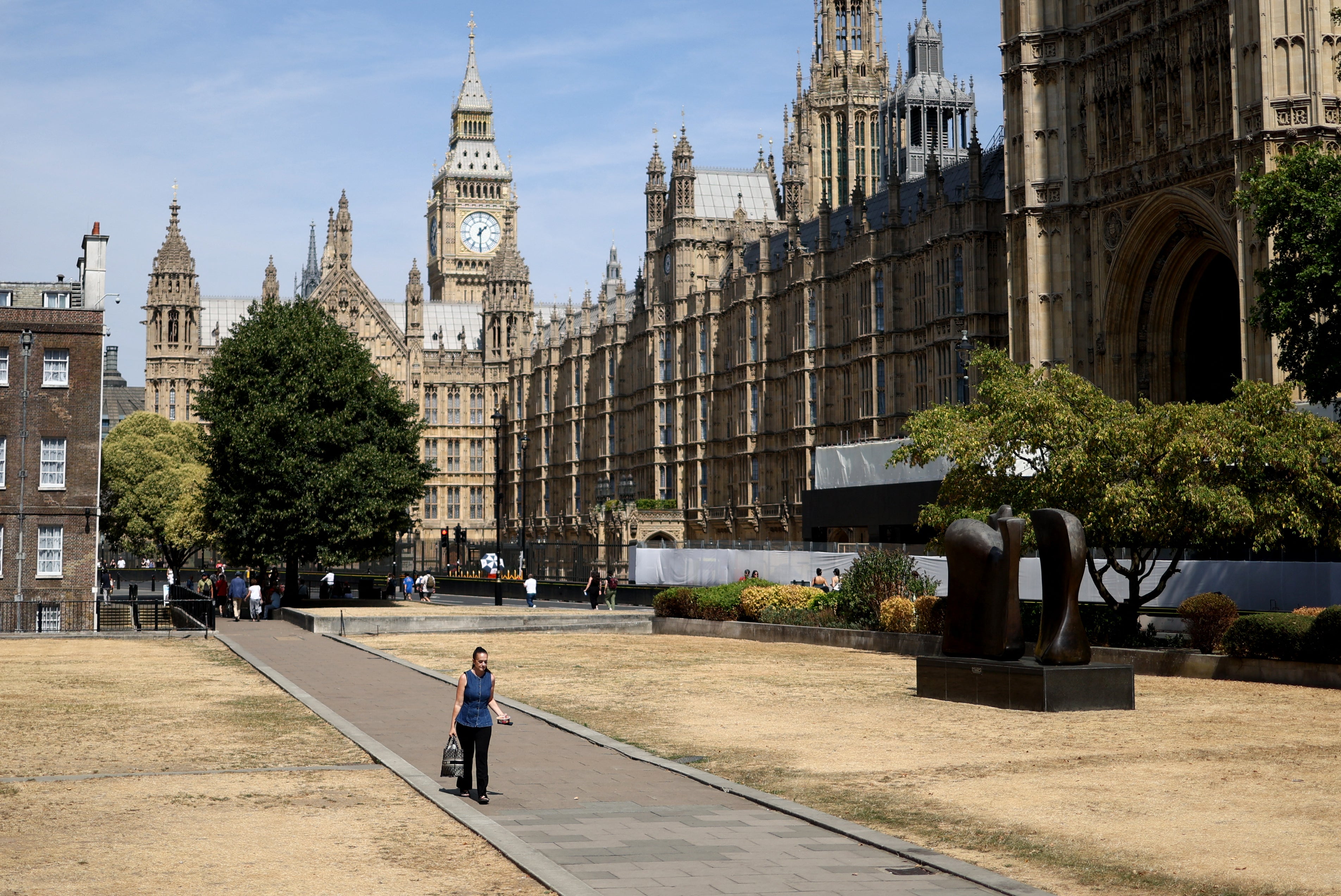
The extreme weather of summer 2026 has included two record-breaking heatwaves in May and June that led to more than 2,800 excess deaths.
Two more heatwaves in July, the driest July in England and Wales since records began, have fuelled drought and wildfires.
Firefighters have tackled wildfires across the country, including in Dunwich, Suffolk, and the Cairngorms in recent weeks.
And temperatures could return to heatwave levels next week, according to forecasts.
London could see highs of 29C in the second half of next week, while the Met Office’s long-range forecast says some spells of hot weather and heatwaves are possible, especially in the south of England, towards the end of August.
Met Office’s UK five-day weather forecast
Wednesday
Rain persists across far northern Scotland, while showers develop widely across Northern Ireland, Scotland and northern England, these will become slow-moving and thundery in places. Elsewhere, dry with sunny spells. Windy in the North, especially around exposed coasts.
Wednesday night
Showers or longer spells of rain continue across northern areas, gradually clearing eastwards overnight. Dry elsewhere with clear spells. Much cooler than recent nights.
Thursday
Drier on Thursday, with sunny or bright spells developing despite a fair amount of cloud. A few isolated showers persist. Cooler than recent days, with temperatures close to average.
Friday to Sunday
Dry for many on Friday. A band of rain affecting the North West on Saturday will sink southwards on Sunday, though some areas will remain dry. Average temperatures at first.